Redefining Land Administration Excellence
At Enugu State Geographical Information Systems (ENGIS), we exist to solve what was once considered impossible. We focus on what matters most in land administration: security of ownership, accuracy of records, transparency of processes, and speed of service. TOMORROW IS HERE.
Explore
Experience the future of land administration with our cutting-edge platform designed for efficiency and transparency.
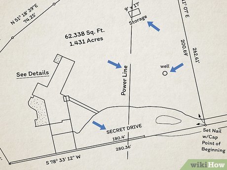
Survey Plan Revalidation
Ensure your survey plans remain valid and compliant with current regulations through our revalidation service. We verify existing surveys against the latest standards to maintain the integrity of land records and prevent boundary disputes. Our process includes:
- Verification against current geospatial data
- Compliance check with updated regulations
- Digital certification for verified surveys
- Integration with ENGIS land administration system
Our groundbreaking system guarantees that verified lands are processed and delivered within just 8 to 24 hours . By integrating advanced geospatial intelligence, holographic security, and anti-counterfeit features, ENGIS sets a new benchmark for trust, efficiency, and accountability in land governance.
Our Specialized Solutions
Comprehensive geospatial services designed for professionals and property owners
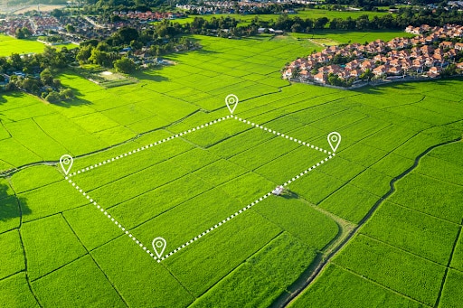
Survey and GIS
Utilize spatial data, GIS software, and modern survey instruments to collect, analyze, and visualize geographic information.
Register NowProfessional Survey Solutions
Advanced geospatial services for survey professionals, ensuring precision and efficiency in land documentation.
 NEW
NEW
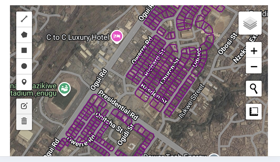
Cadastral Survey
Precise boundary determination and documentation for land registration and dispute resolution.
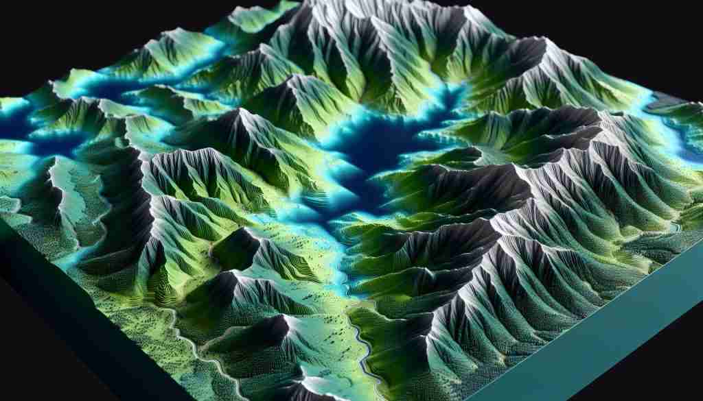
Topographic Mapping
Detailed terrain modeling and feature mapping for engineering and development projects.

GIS Data Collection
Advanced spatial data acquisition and analysis for informed decision-making.
 POPULAR
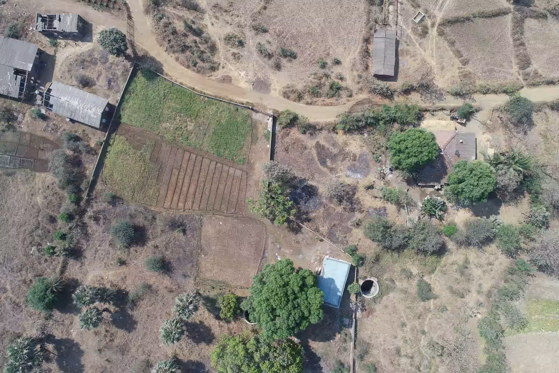
Drone Survey
High-resolution aerial mapping for rapid, accurate land assessment and documentation.
Smart Survey Technology
Revolutionizing land management with intelligent geospatial solutions
Automated Survey Detection
Our system intelligently identifies and processes survey data with millimeter precision, automatically plotting boundaries and detecting potential conflicts with neighboring properties.
Conflict Resolution Tools
Advanced algorithms analyze survey plans to identify overlaps and discrepancies, providing actionable insights to resolve disputes before they escalate.
Global Property Management
Access and manage your survey portfolio from anywhere in the world with our cloud-based platform, featuring real-time updates and collaborative tools for teams.
Discover the latest
Property Monitoring
Proactively monitor your land assets with real-time alerts on ownership changes, encumbrances, or government notices. Our comprehensive tracking system helps prevent fraudulent transactions and unauthorized encroachments on your property.
Plot Survey Plan
Digitally submit and process your land survey plans with our streamlined system. Get instant validation of survey coordinates against existing records to prevent overlaps or boundary disputes before final approval and registration.

Track Your Lands
Maintain a centralized digital portfolio of all your land holdings across Enugu State. Access ownership documents, payment history, and application statuses in one dashboard with automated reminders for renewals and compliance deadlines.